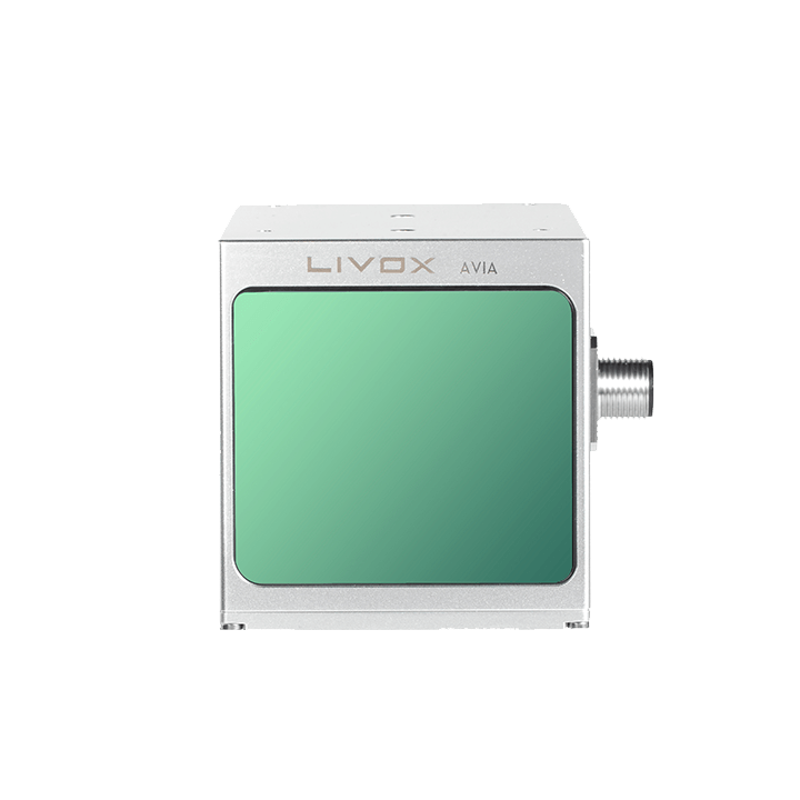
Livox Avia
Long-range LiDAR with up to 450 m range and over 70° field of view. Ideal for aerial surveying, overhead power line inspection and smart-city infrastructure.
Livox Avia at a glance
The Livox Avia is a versatile long-range LiDAR with a detection range of up to 450 m at 80% reflectivity. The non-repetitive scan pattern produces an exceptionally dense point cloud over longer integration times — perfect for detailed surveying and inspection tasks.
In triple-echo mode, the Avia delivers 720,000 points per second and reliably penetrates vegetation or dust. The rugged IP67 housing and the extended temperature range from −20 °C to +65 °C make it a dependable tool for demanding outdoor use.
Typical applications
- Aerial surveying and drone LiDAR
- Inspection of overhead power lines, rails and infrastructure
- Smart-city mapping and 3D city models
- Forestry and environmental surveying
Specification
Frequently asked questions
How much does the Livox Avia cost?
The Livox Avia costs €1,420.00 net (€1,689.80 incl. 19% German VAT), plus shipping from €25. Business customers can buy on invoice.
Is the Livox Avia in stock?
Yes, the Livox Avia is in stock in Geretsried, Germany and usually ships within about 48 hours.
Can I buy the Livox Avia on invoice?
Yes — business customers (B2B) pay on invoice. We ship immediately and you transfer within 14 days. You receive a proper German invoice with 19% VAT.
Does the Livox Avia come with a manufacturer warranty?
Yes. We supply only authorised original goods, so the Livox Avia comes with the full manufacturer warranty and a proper German invoice.
Do customs or import fees apply when ordering the Livox Avia?
No — we ship from our German warehouse. Within Germany and the EU there is no customs clearance and no import risk; you receive a proper German invoice with 19% VAT. Delivery is typically 1–3 business days inside Germany via DHL.
What is the Livox Avia used for?
Typical applications include Aerial surveying and drone LiDAR, Inspection of overhead power lines, rails and infrastructure, Smart-city mapping and 3D city models.